Braving the Buffalo River
I floated down the Buffalo over ten years ago with my teenage
daughter. I loved it and wanted to
introduce my wife and friends to it. But
a lot can change in ten years. We should
have gotten a clue when we were checking in with our shuttle, and heard them
explaining to a group that the Upper Buffalo is only for experienced
paddlers. We thought we were experienced
paddlers.
A beautiful day in May, we, along with many
other canoers, started at Ponca by driving across the low water bridge to load
and launch the canoes. We chose this spot as we would have an easier access to
the section of the river which immediately goes under Hwy 74 bridge. Once our canoes were launched, we quickly
realized the strong current of this river would make it difficult to steer, so
that, by the second set of rapids we found ourselves being swept around a curve
straight into an upended tree. Our
friends seeing our predicament, paddled into the shallows, only to be swept
sideways.

The
river was deep, the current was strong and the rapids non-stop. We felt as if the river and fallen trees were colluding to cause us
problems. Early in the day, the
strong current worked to push the canoe into an overhanging tree as we tried to
maneuver the bend. As the current pushed the canoe closer to the overhanging tree, we struggled with immense paddling and prowess, only to lose; and found ourselves pushed from the canoe into the water. We soon saw a
pattern. We would be pushed by the river
into a fallen branch, and then shoved by the branch into the river. We were glad that we had worn our quick dry
clothing and that the sun was shining! It
was also at this point that I decided that I was actually going to wear my life
preserver. Our advice would be: be
prepared to get wet – not only from trees shoving you out of the boat, but from
two-foot waves splashing over the boat caused by underwater boulders. Also, make sure you bring something to bail
out the canoe.
Having
barely gotten started on our trip we found it to be a tension filled river with
the technical rapids of quick bends and downed trees, so we were relieved to take
a break for a hike to the Hemmed-in-Hollow Falls. Surprisingly, a man on horseback appeared on
the shore and pointed us to the falls takeout. From the river, it is approximately a mile walk along a
bubbling creek of small falls and ledges.
Hemmed-in-Hollow Falls is a 209 ft fall, the tallest in the state and
some say the tallest between the Appalachians and the Rockies. It had a calming effect, wiping away our
tensions from the fast paced river.


Back on the river, our anxieties soothed, we were able
to start enjoying the towering cliffs of gold, black and white, the trickling
of water falling off the ledges and the milky lichen green river. Even so, we still had to stay alert at every
minute. It was rare to be able to have
time for a drink of water or to take a posed photo. We were pleased to find that we hadn’t seen
the first evidence of trash in the river.

Our
first night, we camped at Kyle’s Landing, a well maintained campsite.
A cost of $20, it had real toilets, water, picnic tables, and a fire ring with wooded
sites that are widely spaced from your nearest neighbor. A nice service on the
Buffalo River is that each campground has a free emergency phone located at the
restrooms.
As we
talked over the day, we rationalized that our difficulty in controlling the
canoe was because we were very loaded with gear. So, the next day we emptied our water
containers which reduced our load by 50 pounds.
But we found that wasn’t the answer. We had not gone far the second day when the
fast current and branch partnership colluded to knock me out of the canoe. I couldn’t get my footing and kept trying to
reach the canoe coming up to try to grab the canoe and get a breath of air. As the canoe came into this obstacle, the bow
paddler had ducked and missed the branches, but was now trying to control the
canoe in a fast current level 1+ rapids from the bow. She finally got the canoe to calmer, shallow
water, and the rocky shore. As I got my
footing, we turned around to see our friends canoe completely upside down,
going sideways down the river. When we
righted it, every piece of camping equipment remained in the canoe. That sure was some good rigging and tying
down. One of the rules for the Buffalo
is that everything must be tied down, and now we could definitely see the
advantages! It did take us awhile to
bail out the water, to just sit on the shore in the sun to get warmed up and
recover from the adrenaline rush. We
compared all our bruises and scrapes while taking time to pep each other
up. I lost a hearing aid and our friend
lost his glasses, unfortunate losses but there was no backing up for a “do
over”.
Everyone
we talked to on the river had some story of tipping over, many with the same
words, “We have never tipped before; until today!” And others with the words, “The Buffalo is
some SPECIAL river!” After this third
time of being edged out of our canoe, we decided on a new way to tackle the
rapids – just walk through the shallow areas and pull the canoe through, going
around the more difficult parts.


This,
our second day, had been a whopper of a day, so we were glad to have only
traveled 6 miles. We camped at a group campsite at Erbe. It was a long trek to carry all the camping
gear. These campsites are not as
maintained as Kyle’s Landing. Several of the vaulted toilets were closed. In
fact, there is no running water even though the current National Geographic map
led us to think there was. Remember we
threw out all our drinking water to make our canoe lighter? That wasn’t very wise and we weren’t mentally
prepared. So, what we figured out is
that we need to use the National Park maps for up- to-date information about
the conveniences at each campsite, but use the National Geographic topographic
map for more details on the river. We
spent two nights at the campsite, reading, fishing for small mouth bass, hiking
and exploring the local historic Parker-Hickman farmhouse.
The ½
mile hike to the Parker-Hickman farmhouse is along a dirt rocky road from the
campsite. The house was built in the
1840’s, added on to, and lived in until 1978.
The house and farm buildings are all intact and are open so you can
visit inside. The walls were plastered
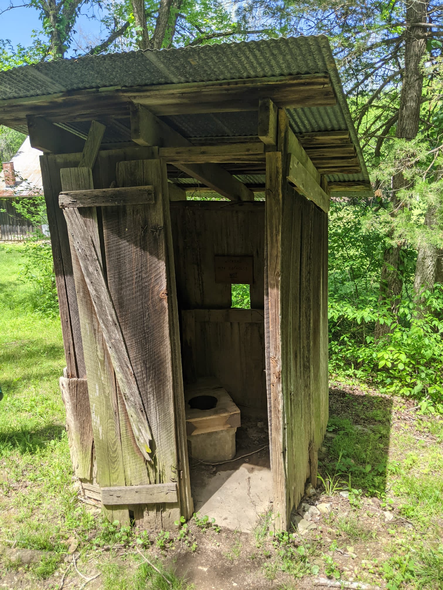
with newspapers and the ceiling with wallpaper samples. There was no indoor plumbing so one
interesting addition was an outhouse built by the WPA in the 1930's. We continued past the farmhouse down to the
river and realized we were on the road that became a concrete slab, which we had seen while in our canoes, to cross the
river. During this last part of the dirt
road, the road is mostly pebbles making it harder to walk. This becomes a good place to talk about the
bottom of the river, a constant supply of large pebbles. Minimalist water shoes were not the best choice for walking this river.


Our
third day on the river was from Erbe to a gravel bar past Pruitt. The river was less intense and even though we
still got out and walked a few rapids, it was less technical. This allowed us to relax a bit and enjoy the
scenery. It seemed as if the bird life
became more abundant, but in reality, it was probably because we didn’t have to
focus on the rapids as intensely. We saw
little green herons, great blue herons, pileated woodpeckers, indigo buntings, pipits,
and many warblers.
We stopped at Ozark campsite for water. It is not well marked, but we could see some
cars through the trees. As we were
collecting water, the sky darkened and the wind was whipping up. It was going to rain. It was great timing for
lunch. We beelined for the large covered
picnic pavilion and had the opportunity to wait out the storm. It would have been a nice place to camp, with
flush toilets, water, and campsites near the water, but we still had quite a
bit more river to cover.
We
had remarked on the pristine quality of the Buffalo River and its lack of
trash. Yet after Pruitt, we started
seeing tires in the river. It was as if
people stood on the bridge of Hwy 7 and pushed them over into the river. Since we left Ponca, we had not gone under a
bridge until Pruitt. The other boaters had also all disappeared.
Our
last night camping on the river we found a secluded gravel bar on the Little
Buffalo, where it joins with the Buffalo River.
The gravel campsite gave us a view of both rivers and bluffs across the
river. It was perfect for the
evening. A lone Canada goose flew
mournfully in, circling and honking.
It’s partner soon joined it. We
had company.

The
last day on the river was from the confluence of the Little Buffalo to Carver,
a trip of 7 miles. It was uneventful and
quick. As we got out at Carver, fishers
were launching their boats and Park Rangers were in their vehicles on the shore. We were allowed to load up our vehicle on the
rocky shore and the responsibility of the rangers was evidenced by their
waiting to make sure we didn’t get stuck in the sand or the steep ascent off
the beach.
At the end of our four days on the water, we took
notice of a sign that we should have read as we embarked on our trip. “River is High and Dangerous. Experienced Floaters Only.”

NEED TO KNOW:
· Wear eyeglass straps.
· Strap Everything down and include a locked cooler.
· Make sure you have dry bags or that your dry bags work.
· Be certain that you bring along only essential items.
· Be prepared to get wet and make sure you are wearing quick-dry clothes.
· Don’t trust the maps for conveniences. Talk to rangers ahead of time.
· Be ready to bail water.
NEARBY ATTRACTIONS:
· Arkansas honey
· The town of Mountain View for local mountain music
· Serenity Farm Bread, a bakery in Leslie